
Wallsend, Looking East. Drawn and Lithographed by John Storey. 4 1/8 x 6 3/4 inches. Source: Bruce, facing p. 90. Scanned image and text by George P. Landow from a copy in Rockefeller Library, Brown University. [This image may be used without prior permission for any scholarly or educational purpose.]
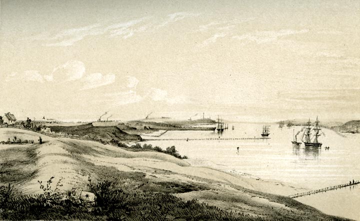
Between Wallsend and the sea the river Tyne gradually expands into an estuary of considerable width. The river itself, therefore, for some miles formed a barrier sufficiently strong to render the building of a Wall superfluous. Great care was, notwithstanding, taken to guard efficiently the mouth of the Tyne. A station subsidiary to Wallsend was planted on the northern shore of the estuary at Tynemouth, whilst the promontory on the opposite side — Shields Lawe — was similarly guarded. A mile or two to the west of these stations were other two strongholds, one on the north side of the river, near East Chirton, and the other on the south side, at Jarrow. The country seaward of Wallsend was thus rendered perfectly secure. — John Collingwood Bruce, p. 88
Related Material
- Wallsend (modern photograph)
Sources
Bruce, John Collingwood. The Roman Wall: A Description of the Mural Barrier of the North of England. 3rd ed. London: Longmans, Green, Reader, and Dyer, 1867.


Last modified 7 August 2006